progress
A squadron of new drone pilots saved every flood victim
Their training wasn't finished. The river didn't wait.
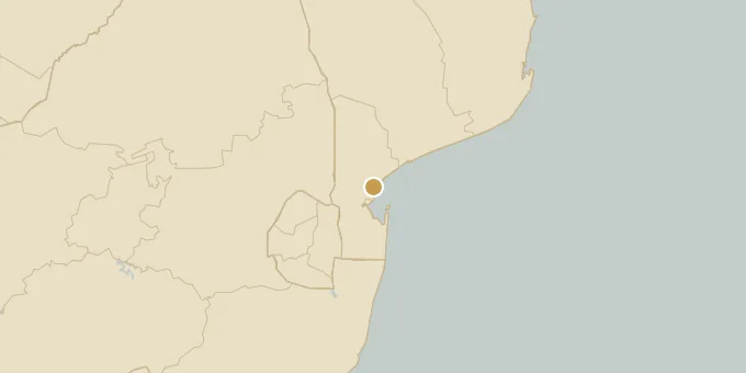
A district in northern Mozambique survived one of its worst floods in decades this January without a single recorded death, and a squadron of drones is the reason why. After weeks of rain, the Incomáti River burst its banks in Marracuene, submerging hundreds of square miles. Drone pilots trained through the African Development Bank's KOAFEC program flew overhead, locating stranded families and streaming live imagery to rescue teams who had no other way to see what the water had done. The timing was tight. The floods hit halfway through the pilots' course, eight months before their training was set to finish. "Before this project, I had absolutely no experience with drones," said Kátia Manjate, one of the new pilots. LiDAR imagery measured how deep each brown pool ran and guided rescue vehicles through door-high water. Of the 30 pilots who graduated in August, 10 left licensed to train the next batch themselves.