progress
Jersey just protected a fifth of its seas from trawling
A tiny island drew new lines in the sea. The fish ignored them.
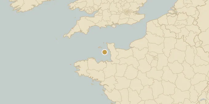
Jersey will protect 21.7% of its waters from trawling and other damaging fishing practices under new regulations that came into force on September 1st. The self-governing British isle in the English Channel announced the change in late August, raising its share of protected sea by 15 percentage points. The rules target the most valuable and vulnerable habitats around the island, zones that act as feeding grounds and nurseries for fish stocks and other marine life. Mary Le Hegerat, Jersey's Minister for the Environment, called the island's seas "one of the island's greatest natural assets." The government says it is working with fishers to open new areas less sensitive to disturbance. Francis Binney, head of marine resources, framed the move plainly. "This is not about choosing between conservation and fishing," he said. Research on protected areas worldwide tends to agree with him. Richer habitats refill the waters around them, and the fish do not respect the boundary lines.